Wednesday, April 30, 2014

The Family Islands Regatta

Coconut Harvest Event (March 2011)

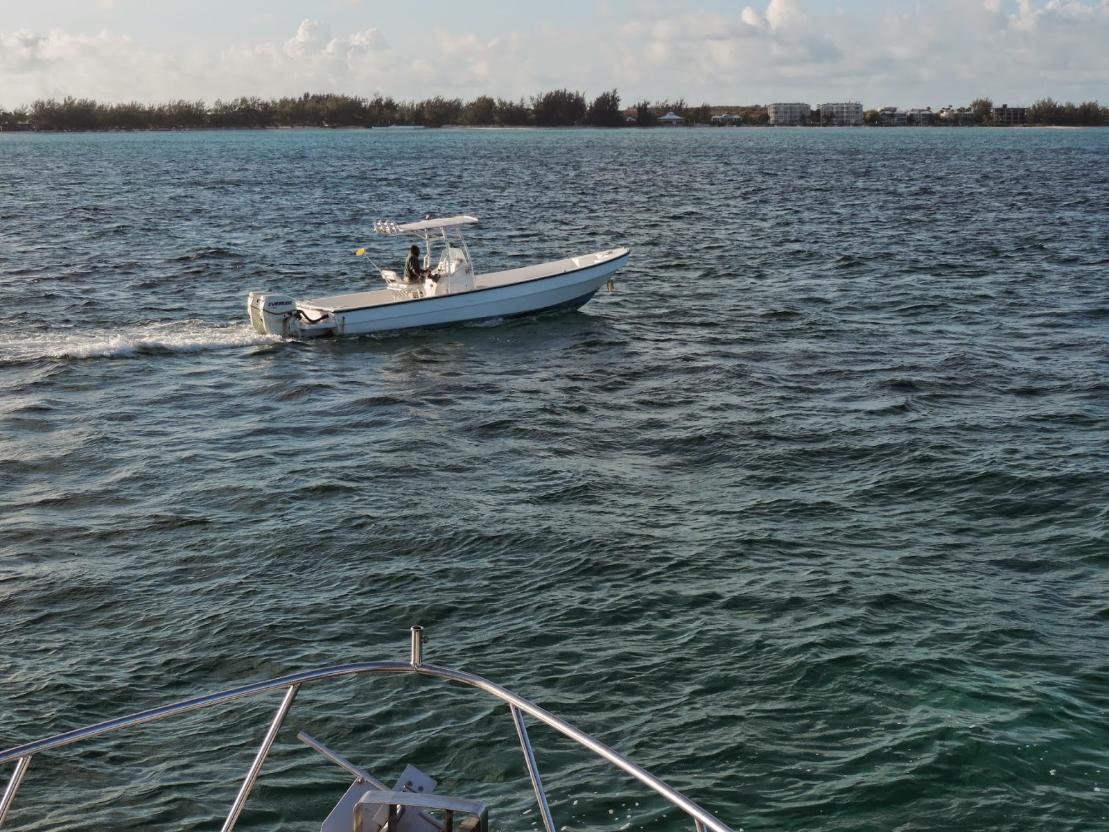
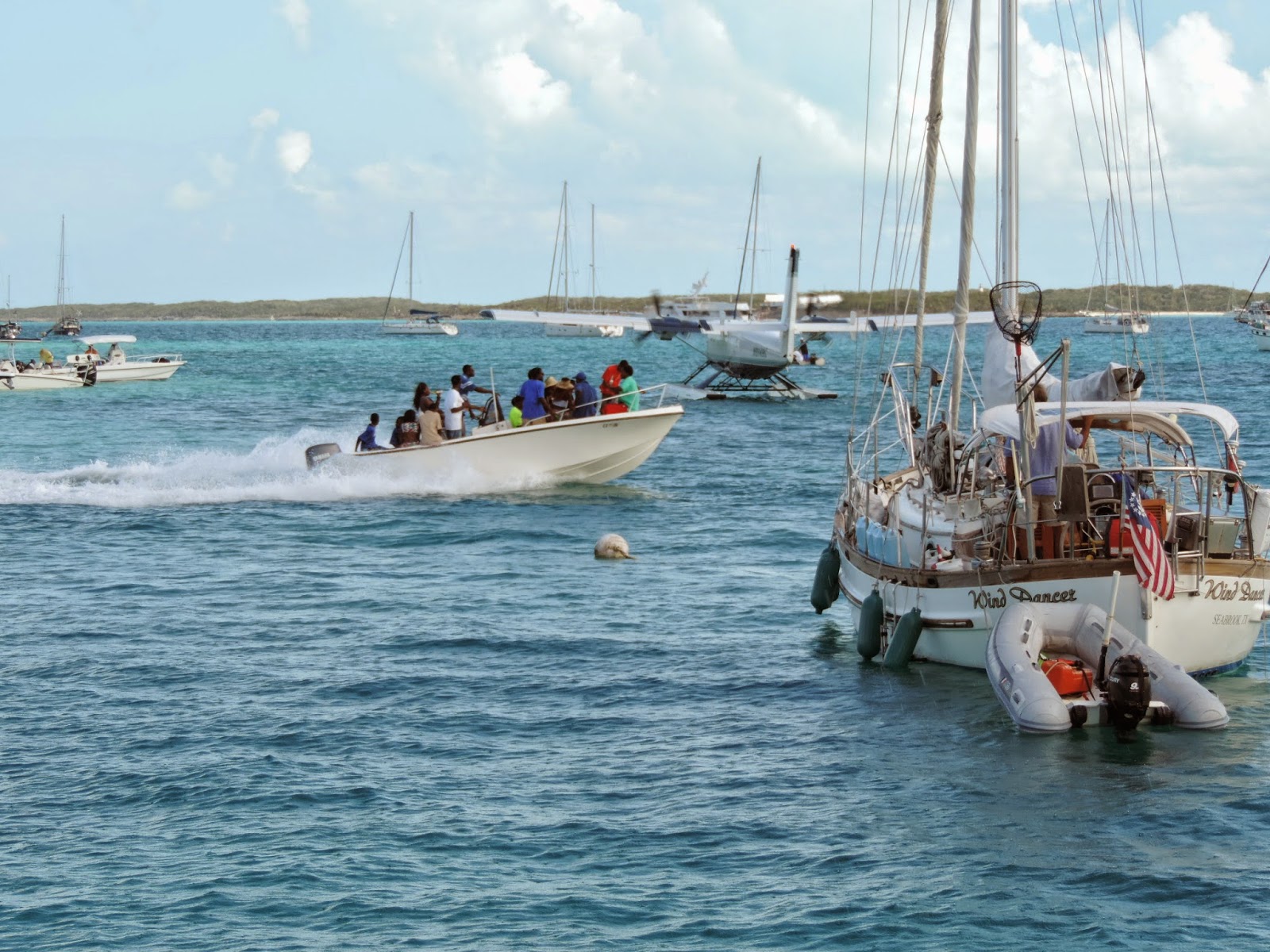
March brings the mayhem of The Cruising Regatta to Elizabeth Harbour and Stocking Island in the Exumas.  After many of the 500 or so cruising boats anchored in Elizabeth Harbour disperse to other parts of the Bahamas, it is time for The Family Islands Regatta.  Proceeds raised from The Cruising Regatta helps George Town put on The Family Islands Regatta each April. 


After the abolishment of slavery, many of the then failing plantations were deeded to the freed slaves who often took the surnames of their previous owners.  These “families” took on administering their own islands.  “The Local Government Act” of 1996 formalized the process.  Today there are 38 districts or Family Island Administrations.


For the Bahamas, The Family Islands Regatta is the World Series, Super Bowl, and World Cup all rolled into one.  It began in the 1950’s as powered boats were replacing the Bahamian working sail craft and many wanted to save the traditional boats.  In 1954 nearly 70 Bahamian sloops, schooners and dinghies gathered in Elizabeth Harbour for sailing and “related” activities.


The early contestant’s boats were working vessels, but as rivalries and prize money increased newer boats designed solely for racing began to appear.  Today, Bahamian sloop racing rules are clear.  The boats must be designed, built, owned, skippered, and primarily crewed by Bahamians.  The length (LOA) must not be more than 28’3”, sails must be canvass, the hull made of wood, and the single wooden mast must not be bent.  No bowsprits, spreaders, winches, or any sort of a wind instrument including tell-tales are allowed.


Because these boats were initially designed as working boats for the shallow Bahamian waters, they do not have the deep keels or ballast.  Instead they rely on prys, wooden planks that crew members extend out on the windward side and then climb onto.  Tacking can be a real challenge on the triangular race course and sometimes crew members are lost overboard.  However, any boat that does not stop for a MOB is disqualified.


Spectators are allowed to follow the action in dinghies and other boats.  Sometimes there appears to be more spectator boats than racing sloops.  We watched from the safety of the back deck of our boat because I do not think they are required to pickup spectator MOBs.

Picture ceremony on one of the wining boats, Tida Wave

Cruising friends advised us that the music from the Government Dock lasted until 4:00 AM on the Friday night before the end of the regatta.  Celebrations were much more subdued on the last night of regatta.  Chat n’ Chill was hopping, but that is normal.


Then on Sunday the regatta was over and everyone headed home to prepare for next year.

Tuesday, April 29, 2014

Bahamian Island Hopping


After spending a relaxing, but expensive few days in Providenciales, (“Just say Provo, mon, don’t hurt your tongue.”) Turks & Caicos Islands (TCI), it was time to move on.  TCI has evidently ran up some debt that they are attempting to pay off through taxation.  As one observer noted, they only seem to have two industries in the islands, religion and tourism. 

 Solo Tu passing us

We had met some of the crew of Solo Tu a 101’ private yacht also headed for the Bahamas in Turtle Cove Marina in TCI.  Although they departed behind us, they soon passed by.


With no wind and very little swell the 56 NM to our first Bahamian island, Mayaguana, was very pleasant and uneventful.  As far as we could see, Mayaguana’s highest and best use today is the reef protected anchorage at Abraham’s Bay for boats arriving or departing the Bahamas.  It does have a government office where cruisers can check in next to a Bahamas Telecommunication Corporation (BTC) office with SIM cards for your phone.


After the long night crossings required between Turks & Caicos Islands, Dominican Republic, and Puerto Rico, it is nice to get back to island hopping.  Motivator’s crew prefers 50 to 60 mile legs with a nice anchorage to enjoy a sundowner at the end of the day.

Umbrella Rock marking the entrance to Attwood Harbour

One such anchorage is Attwood Harbour in the Crooked Island District.  The sailing vessel Sea Gem arrived soon after us.  We had briefly met her crew in TCI, so we enjoyed conversation and sundowners with them.  We were the only boats in the anchorage.

Rigging the anchor bridle in Attwood Harbour

One of our guide books say that Attwood Harbour is a “deathtrap in a norther,” and that is probably true.  However, both times we have anchored there we found it to be a quite pleasant.

Sea Gem at sunset

The next morning we beat Sea Gem’s crew out of the anchorage.  We did watch them on the AIS as they also headed for Little Harbour on Long Island.

AIS target on Motivator’s chart plotter

Other targets on the AIS were watched more closely.

Genco Thunder

Using the AIS presentation we were able to determine that a slight port turn would allow us to pass a mile behind the tanker instead of three tenths of a mile.  Pollie says, New Rule, we miss these guys by at least a mile.

Typical Bahamian Beach

Unlike the volcanic islands in the Caribbean we spent two years with, the Bahamas are mostly low lying lumps of limestone.  While the land masses are not as dramatic as in the Caribbean, the water is spectacular. 

The sometimes working lighthouse on Bird Rock

On the northeast tip of the Crooked Islands is a 112’ limestone lighthouse that is probably the highest point in the southern Bahamas.  I once asked a professional captain about the feasibility of moving at night in the Bahamas.  He said, “There are two types that move at night, fools and drug runners.”

Sandy Cay at low tide

After spending a pleasant night at Little Harbour with three other boats, we went around the southern point of Long Island and into Dollar Harbour.  Dollar Harbour is not your typical harbor.  At low tide there is sand around you.

Sandy Cay at high tide

The “landscape” changes somewhat at high tide.  Although you know that you are in shallow water, it feels like you are anchored in open water.


Evidently the bone fishing is good.  These day trippers seemed to be enjoying themselves.

S/V Fussel

Again the neighborhood was not crowded.  There was only one other vessel anchored in Dollar Harbour.


The next day we spent crossing the bank between Long Island and Great Exuma.  Most of the day we had 6’ or less under our keel.

Motivator’s course

We decided to cross the bank instead of going around the north side of Long Island for two reasons.  It is actually shorter even though you have to zigzag around White Cay Bank, and after six days without weather information it seem more prudent than open water. 


There is two types of weather.  The forecasted weather and the weather you see from the fly bridge.


Yep, that is a water spout.  I do not think that was on anybody’s forecast.  Luckily that squall passed behind us. 


We were not so lucky with the next squall.  But, all we got out of it was a free boat wash.

Gaviota Bay

Welcome to G’town!  No more secluded anchorages.  Timing is everything, we made it for the last day of the Family Regatta. 

More to follow.

Monday, April 21, 2014

How do dolphins sleep?


Nothing gets your attention on a night crossing like a big splash off the bow of the boat!  When it recently happened to me, I was able to see in the moon light the streak of a dolphin playing in our bow wake.


Motivator’s speed and bow wake must be what dolphins like because we seem to have plenty of visits.


The night visits raised our curiosity.  If they are busy scaring us at night, when and how do they sleep?  Google it!


Scientists think that dolphins sleep by shutting down half their brain.  For approximately 4 hours one side of their brain is asleep, then the other side for another 4 hours.  The awake half is controlling breathing (they are mammals, so they have to surface for air) and keeping one eye open for predators (the eye on the opposite side of the half asleep).  In captivity, dolphins have been observed drifting to the bottom of the pool then slowly rising to the surface for a breath.  We must have experienced the party animals.  

Friday, April 18, 2014

DR to TCI


After roughing it for five nights at Ocean World Marina in the Dominican Republic it was time to move on.


The passage from the DR to Turks and Caicos is one of the longest on the “Thorny Path” down island into the Caribbean.  One hundred and seventy-five miles is 24 hours in Motivator time.  Actually, we had to pull back on the throttles about 4 hours out because we were going to arrive before the marina was open.


A popular option to doing such a long passage is to stop at French Cay, an unpopulated island that is more of a high spot on the Caicos Bank rather than an island.  Due to weather and timing constraints, we opted for the longer passage.


Sometimes during the 24 hours of looking at ocean you get some spectacular views.


But, most of the time it is just ocean interrupted by the occasional flying fish.  Luckily for us it was a rather benign ocean on this passage.

Pollie off watch

We usually keep to a rather loose two hours on and two hours off watch schedule on long passages.

Pollie on watch

The off watch sleep quality is not that great, so a long nap is usually in order when we get to our destination.

Caicos Bank

On our previous stop in TCI (Turks & Caicos Islands) we stayed at the South Side Marina.  Getting to South Side requires crossing the Caicos Bank’s very shallow water while dodging coral heads.  That is something you do not want to attempt at night.  Additionally, Motivator dredged the channel entering South Side Marina.

Outbound yacht with pilot boat

This time we opted for Turtle Cove Marina on the northern shore.  The north shore and marina is well protected by a reef system.  Self-navigating through the reef system is not recommended.  We had to hold off shore while a pilot boat was dispatched to lead us in.

Kyle and the pilot boat

After leading another yacht out, Kyle said that it was our turn and that we should stay lined up on his stern.


At this point Kyle advised us to stay dead center between the markers.  Even though the channel is well marked, I can see why they recommend the pilot boat.  It is too easy to miss one of the markers and take a “short cut.”

Motivator peeking over the dock at Turtle Cove Marina

Looks like we made a good choice.  Last time we were in TCI we rented a car to get to the restaurants and shopping that is now in bicycling distance.  It looks like we will have to tough it out here in the “gin clear water” a little less than a week before we have good weather for entering the Bahamas.

Wednesday, April 16, 2014

Dominican Republic


Hispaniola is a big island.  Just the Dominican Republic portion is big compared to the other islands in the Caribbean.  Our last hop was a 115 NMs, or 16 – 17 hours in Motivator time.  All we did was go from Samana around the corner to Puerto Plata, Ocean World Marina.

 Entrance to Ocean World Marina

Because we have a standing rule to never enter a harbor in the dark and to avoid departures during darkness, we have to time our passages.  For this trip we departed at 5 PM and arrived the next morning at around 10 AM. 

Fuel dock

Again, we had to check in with Customs, Immigration, DR Navy and Drug Enforcement, but no fees were extracted.  They do, however have a new requirement that all boats must go to the fuel dock for check in.


We also prefer to dock without strong trade winds (in the morning, not in the afternoon).  It makes the Captain’s skills look so much better.


Ocean Word Marina will be our home while we wait for a weather window for the crossing to Turks & Caicos.  Having visited once before (see archived posting, Turks & Caicos to Dominican Republic, dated April 5, 2012), we will probably not be taking the tour that visits all of the tour guide's cousins businesses.