
After spending a relaxing, but expensive few days in
Providenciales, (“Just say Provo, mon, don’t hurt your tongue.”) Turks &
Caicos Islands (TCI), it was time to move on.
TCI has evidently ran up some debt that they are attempting to pay off
through taxation. As one observer noted,
they only seem to have two industries in the islands, religion and
tourism.

We had met some of the crew of Solo Tu a 101’ private yacht also headed for the Bahamas in Turtle
Cove Marina in TCI. Although they
departed behind us, they soon passed by.

With no wind and very little swell the 56 NM to our first
Bahamian island, Mayaguana, was very pleasant and uneventful. As far as we could see, Mayaguana’s highest
and best use today is the reef protected anchorage at Abraham’s Bay for boats
arriving or departing the Bahamas. It
does have a government office where cruisers can check in next to a Bahamas
Telecommunication Corporation (BTC) office with SIM cards for your phone.

After the long night crossings required between Turks &
Caicos Islands, Dominican Republic, and Puerto Rico, it is nice to get back to
island hopping. Motivator’s crew prefers 50 to 60 mile legs with a nice anchorage
to enjoy a sundowner at the end of the day.

Umbrella Rock marking
the entrance to Attwood Harbour
One such anchorage is Attwood Harbour in the Crooked Island
District. The sailing vessel Sea Gem arrived soon after us. We had briefly met her crew in TCI, so we
enjoyed conversation and sundowners with them.
We were the only boats in the anchorage.

Rigging the anchor
bridle in Attwood Harbour
One of our guide books say that Attwood Harbour is a
“deathtrap in a norther,” and that is probably true. However, both times we have anchored there we
found it to be a quite pleasant.
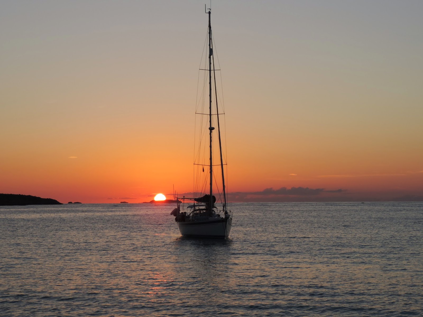
Sea Gem at sunset
The next morning we beat Sea
Gem’s crew out of the anchorage. We
did watch them on the AIS as they also headed for Little Harbour on Long
Island.

AIS target on Motivator’s chart plotter
Other targets on the AIS were watched more closely.

Genco Thunder
Using the AIS presentation we were able to determine that a
slight port turn would allow us to pass a mile behind the tanker instead of
three tenths of a mile. Pollie says, New Rule, we miss these guys by at least a mile.

Typical Bahamian
Beach
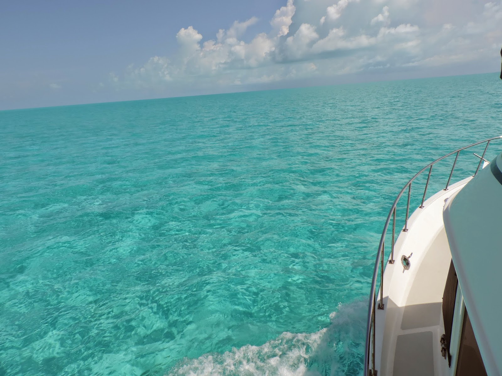
Unlike the volcanic islands in the Caribbean we spent two
years with, the Bahamas are mostly low lying lumps of limestone. While the land masses are not as dramatic as in
the Caribbean, the water is spectacular.

The sometimes working
lighthouse on Bird Rock
On the northeast tip of the Crooked Islands is a 112’
limestone lighthouse that is probably the highest point in the southern
Bahamas. I once asked a professional
captain about the feasibility of moving at night in the Bahamas. He said, “There are two types that move at
night, fools and drug runners.”

Sandy Cay at low tide
After spending a pleasant night at Little Harbour with three
other boats, we went around the southern point of Long Island and into Dollar
Harbour. Dollar Harbour is not your
typical harbor. At low tide there is
sand around you.

Sandy Cay at high
tide
The “landscape” changes somewhat at high tide. Although you know that you are in shallow
water, it feels like you are anchored in open water.

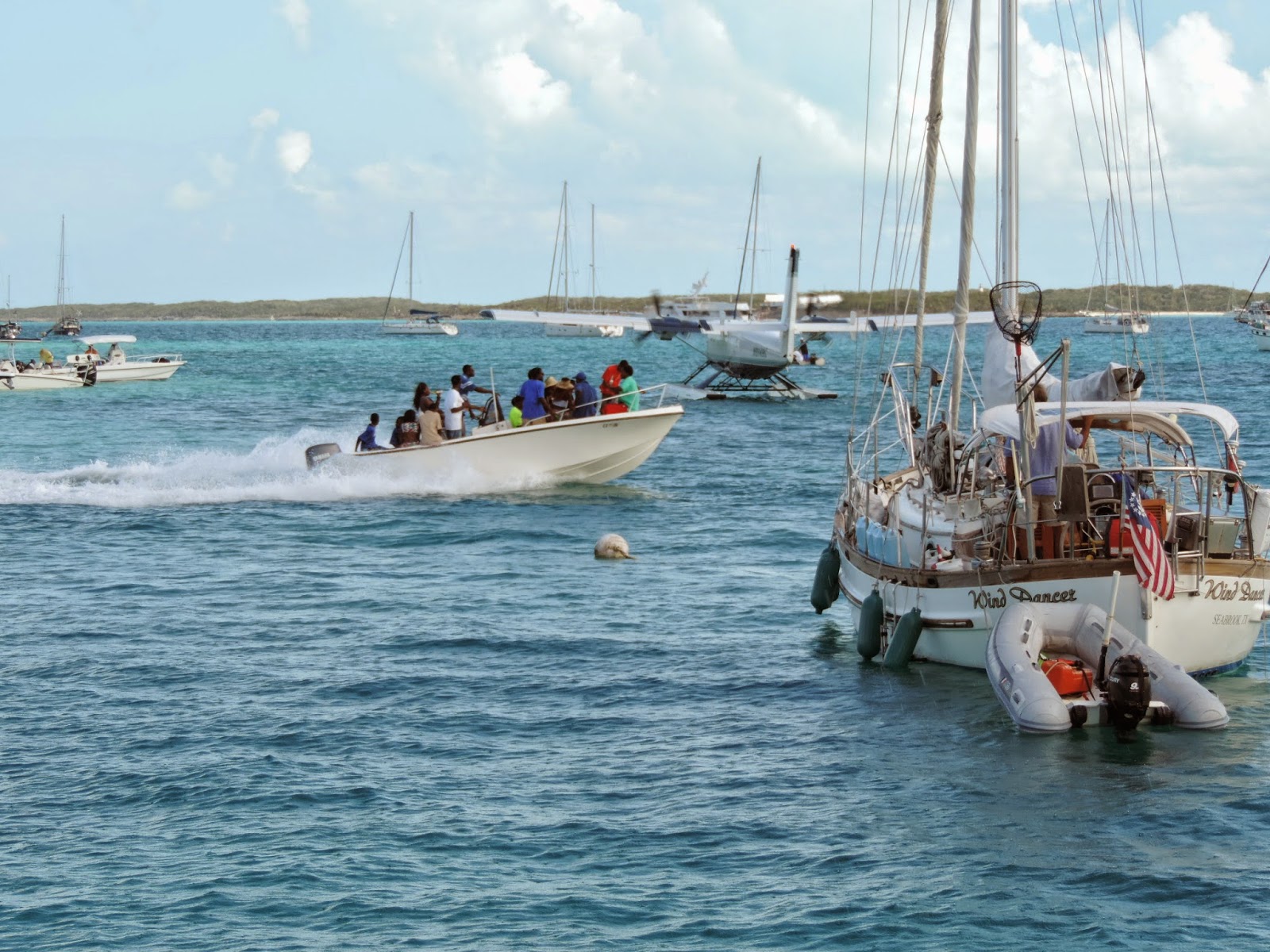
Evidently the bone
fishing is good. These day trippers
seemed to be enjoying themselves.

S/V Fussel
Again the neighborhood was not crowded. There was only one other vessel anchored in
Dollar Harbour.
The next day we spent crossing the bank between Long Island
and Great Exuma. Most of the day we had
6’ or less under our keel.

Motivator’s course
We decided to cross the bank instead of going around the
north side of Long Island for two reasons.
It is actually shorter even though you have to zigzag around White Cay
Bank, and after six days without weather information it seem more prudent than
open water.

There is two types of weather. The forecasted weather and the weather you
see from the fly bridge.

Yep, that is a water spout.
I do not think that was on anybody’s forecast. Luckily that squall passed behind us.

We were not so lucky with the next squall. But, all we got out of it was a free boat
wash.
Gaviota Bay
Welcome to G’town! No
more secluded anchorages. Timing is
everything, we made it for the last day of the Family Regatta.
More to follow.
Good to see you made it safely to G'town. We're missing you two, but so glad we had theses past few years to hang out with you. We'll be looking you up whenever we decide to head north again. I'll be watching your blog to see what you're up to!
ReplyDelete